1931 Belize hurricane
| Category 4 major hurricane (SSHWS/NWS) | |
.jpg) Surface weather analysis of the hurricane on 10 September | |
| Formed | September 6, 1931 |
|---|---|
| Dissipated | September 13, 1931 |
| Highest winds |
1-minute sustained: 135 mph (215 km/h) |
| Lowest pressure | 952 mbar (hPa); 28.11 inHg |
| Fatalities | 2,500 |
| Damage | $7.5 million (1931 USD) |
| Areas affected | |
| Part of the 1931 Atlantic hurricane season | |
The 1931 Belize hurricane was a devastating Category 4 tropical cyclone that struck British Honduras on 10 September 1931, killing an estimated 2,500 people. Although weaker than Hurricane Hattie of 1961, it remains the deadliest hurricane and natural disaster in British Honduras history. The hurricane was first detected as a tropical wave off the west coast of Africa on 29 August. Moving westward, the disturbance remained relatively weak till 6 September, when it was first classified as a tropical cyclone just west of the Windward Islands. The depression gradually intensified, reaching tropical storm intensity within the first six hours following tropical cyclogenesis. The cyclone intensified further to hurricane intensity by 8 September. Strengthening and organization remained gradual until the storm reached the Gulf of Honduras, by which time it began to rapidly intensify. The tropical cyclone quickly attained Category 4 hurricane intensity. The hurricane subsequently made landfall on Belize City on 10 September with maximum sustained winds of 135 mph (215 km/h) and a minimum barometric pressure of 952 mbar (hPa; 28.12 inHg). Moving across the Yucatán Peninsula, the tropical cyclone weakened, and continued to weaken when it moved across the Bay of Campeche. This track brought it to a second landfall north of Tampico, Mexico as a tropical storm on 13 September. Once inland, the storm quickly weakened, and dissipated later that day.
Meteorological history

The hurricane began as a tropical wave—a westbound low-pressure area—first observed southeast of Cape Verde on 29 August.[1] Traversing the tropical Atlantic, the wave retained a minimum barometric pressure of about 1010 mbar (hPa; 29.83 inHg) and strengthened briefly the following day.[2][3] By 1 September, however, the wave had become rather weak and indiscernible; it would remain as such for much of its early existence till 6 September, by which time it had moved past the Windward Islands. In this region the system became sufficiently organised to be classified as a tropical depression at 1800 UTC that same day, about north-north-west of Grenada.[4][5] Some six hours after its inception the depression strengthened to a tropical storm over the eastern Caribbean Sea. Owing to a lack of ship observations, data on the storm were scarce in that region. The first ship to identify the storm clearly was the tanker Geo H. Jones, which recorded strong winds in conjunction with rapidly decreasing barometric pressures late on 7 September.[4] As the storm remained north-north-westbound across the Caribbean,[5] more ships were able to record data on the cyclone.[2]
At 1800 UTC on September 8, the tropical storm attained hurricane intensity. Intensification remained gradual until the hurricane moved into the Gulf of Honduras by September 10, when the hurricane began to rapidly intensify. At 0000 UTC on September 10, the cyclone intensified into a Category 2 hurricane. The storm strengthened further before reaching its peak intensity with as a Category 4 hurricane with maximum sustained winds of 135 mph (215 km/h) at 1800 UTC.[5] The strong hurricane made landfall on Belize City at the same intensity two hours later. A barometer in the city recorded a minimum pressure of 952 mbar (hPa; 28.12 mbar); this was the lowest barometric pressure measured in association with the storm.[2] The hurricane substantially weakened over the Yucatán Peninsula, and had weakened to tropical storm strength by the time it had entered the Bay of Campeche. Despite moving back over water, the tropical cyclone continued to weaken in the bay,[5] and made its final landfall roughly 60–70 mi (95–110 km) north of Tampico, Mexico with winds of 40 mph (65 km/h) at around 0000 UTC on September 13.[2] Over the mountainous terrain of Mexico, the storm quickly weakened, and dissipated later on September 13.[5]
Preparations, impact, and aftermath

September 10, the day of the hurricane, is also a national holiday for British Honduras, on which many locals gather in the streets to celebrate the defeat of Spanish conquerors by the British in 1798.[6] It is widely believed that the hurricane struck without any warning, although some recent historians have disputed this. In his column for The Belize Times on September 5, 2004, Emory King claimed that Belizean authorities withheld continuous warnings from U.S. ships in the region of a possible hurricane strike on British Honduras so the festivities would not be interrupted.[7] King cited as evidence a letter dated September 24, 1931, from a local radio operator to the Colonial Secretary in which the warnings were discussed, adding that "perhaps none of [the authorities] had ever been in a hurricane and didn't know exactly how bad it was going to be."[8]
- Government radio facilities in Belize City were cut out during the storm.[9]
- In Tela, Honduras, the hurricane's effects destroyed the city, killing 150 people and rendering many others homeless.[9]
- Several American priests in Belize City were killed during the storm.[10]
- The British government requested for the United States to send vessels to assist those affected by the storm.[9]
- The USS Swan (AM-34), stationed at nearby Trujillo, Honduras was dispatched to send aid to British Honduras.[9]
- U.S. President Herbert Hoover ordered the United States Navy and American Red Cross to cooperate in relief efforts.[9]
- Both agencies and organizations ordered a United States Marine Corps plane from Managua, Nicaragua to send $2,500 worth of medical supplies to affected areas of British Honduras.[9]
See also
Notes
References
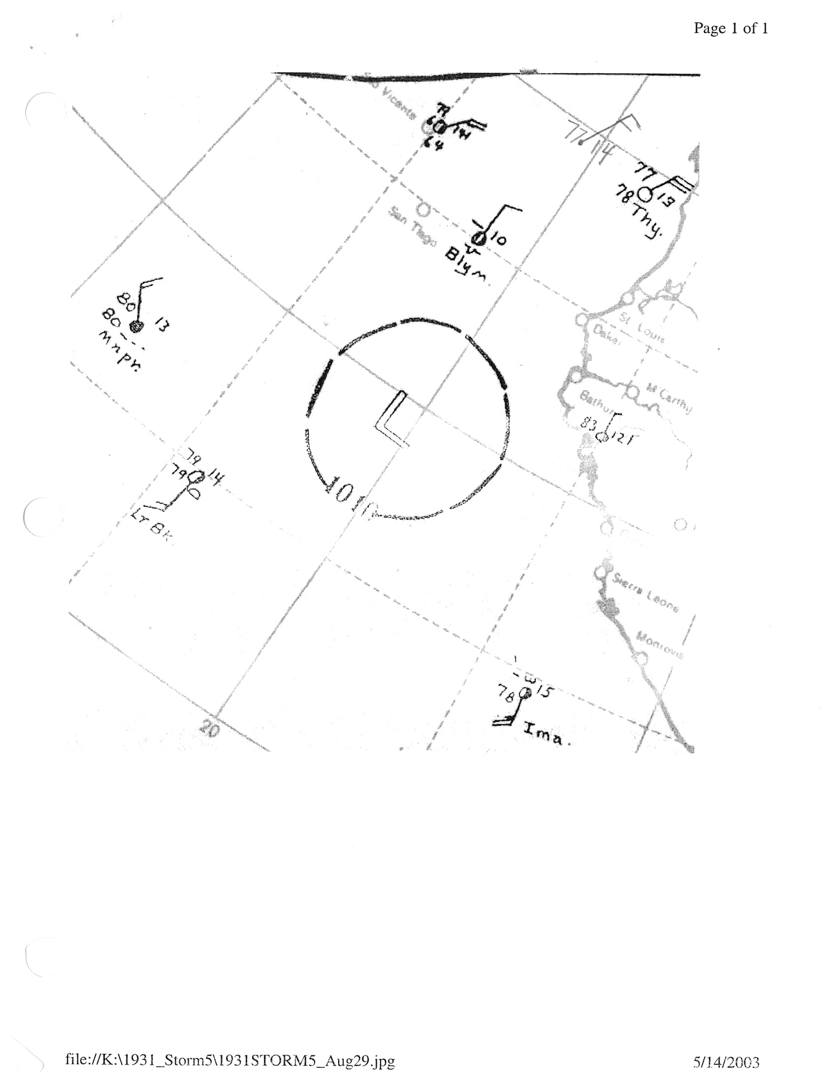
- ↑ Weather map of tropical system 193106 on August 29, 1931 (JPG) (Weather map). United States National Oceanic and Atmospheric Administration. 1931-08-29. Retrieved 2013-05-01.
- 1 2 3 4 Chris, Landsea; et al. (December 2012). "Documentation of Atlantic Tropical Cyclone Changes in HURDAT". United States National Oceanic and Atmospheric Administration. Retrieved 2013-05-21.
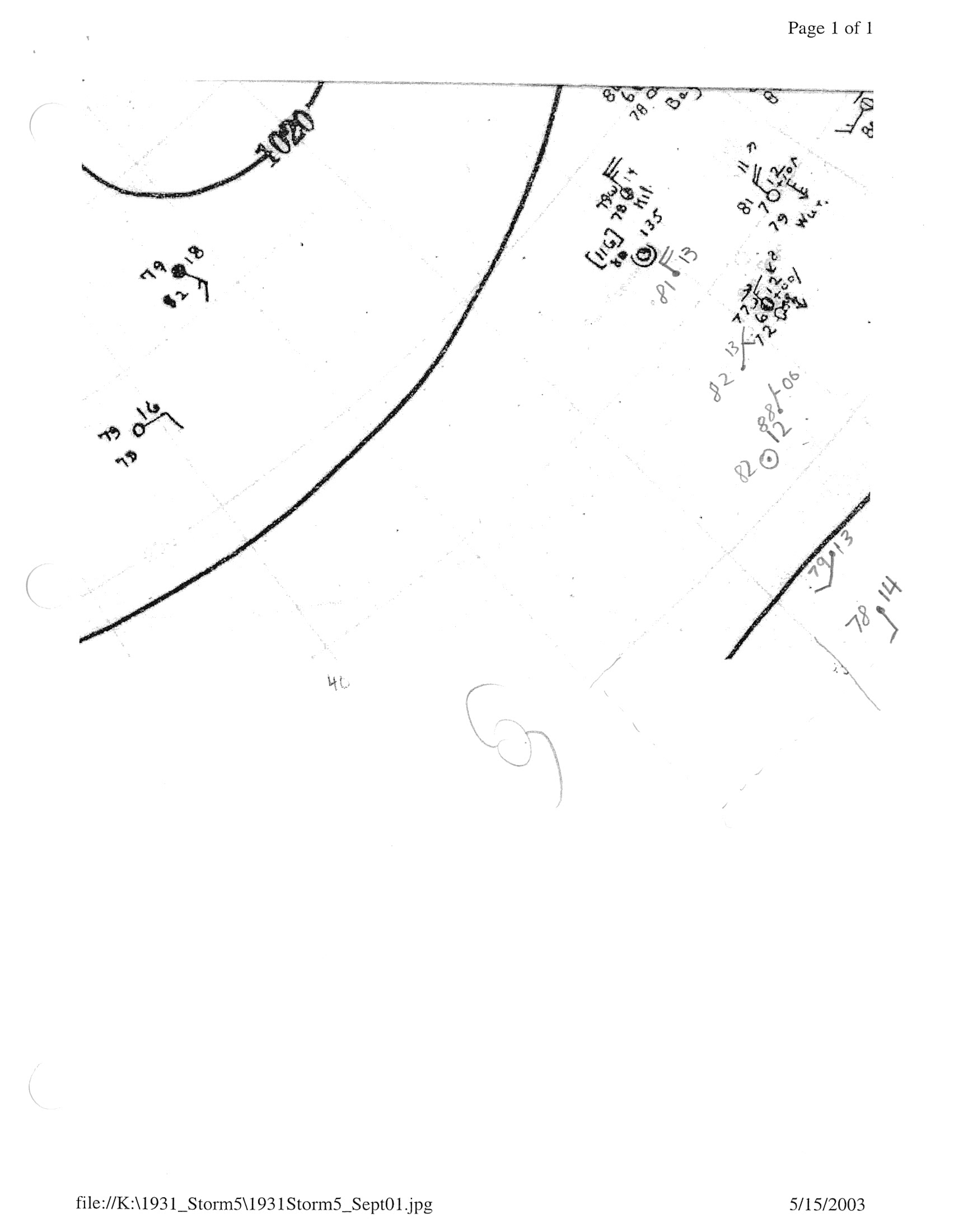
- ↑ Weather map of tropical system 193106 on September 1, 1931 (JPG) (Weather map). United States National Oceanic and Atmospheric Administration. 1931-09-01. Retrieved 2013-05-21.
- 1 2 McDonalds, W.F. (October 1931). "Tropical Storms Of September, 1931, In North American Waters" (PDF). Monthly Weather Review (American Meteorological Society) 59 (9): 364–367. Bibcode:1931MWRv...59..364M. doi:10.1175/1520-0493(1931)59<364b:TSOSIN>2.0.CO;2. Retrieved 2013-05-21.
- 1 2 3 4 5 National Hurricane Center; Hurricane Research Division (February 17, 2016). "Atlantic hurricane best track (HURDAT version 2)". United States National Oceanic and Atmospheric Administration. Retrieved March 31, 2016.
- ↑ "September 10th: Belize Celebrates Battle of St. George's Caye". The San Pedro Sun (San Pedro, Belize). 2011-09-10. Retrieved 2013-05-24.
- ↑ "(Author name withheld) From the publisher [Letter to the editor]" (PDF). Amandala (Belize City, Belize). 2004. Retrieved 2013-05-24.
- ↑ Williams, Ann-Marie (2000-10-31). "1931 Hurricane myth disputed". Channel 5 Belize. Retrieved 2013-05-24.
- 1 2 3 4 5 6 "200 Lives Lost In Tropic Hurricanes". The Free-Lance Star (Fredericksburg, Virginia). Associated Press. 1931-09-11. p. 1. Retrieved 2013-05-25.
- ↑ "Americans Lose Lives In Tornado". The Free-Lance Star (Fredericksburg, Virginia). Associated Press. 1931-09-11. p. 1. Retrieved 2013-05-25.
Further reading
- Usher, Kareem M. (2007). "Natural Hazard Mitigation Strategies in the Continental Caribbean: The Case of Belize". Études caribéennes 2007 (7). doi:10.4000/etudescaribeennes.324.
| Wikimedia Commons has media related to 1931 Belize hurricane. |