al-Heila
| al-Heila | |
|---|---|
| Other transcription(s) | |
| • Arabic | الحيلة |
 al-Heila Location of al-Heila within the Palestinian Territories | |
| Coordinates: 31°28′24.07″N 35°06′25.84″E / 31.4733528°N 35.1071778°ECoordinates: 31°28′24.07″N 35°06′25.84″E / 31.4733528°N 35.1071778°E | |
| Governorate | Hebron |
| Government | |
| • Type | Village council |
| Population (2007) | |
| • Jurisdiction | 1,277 |
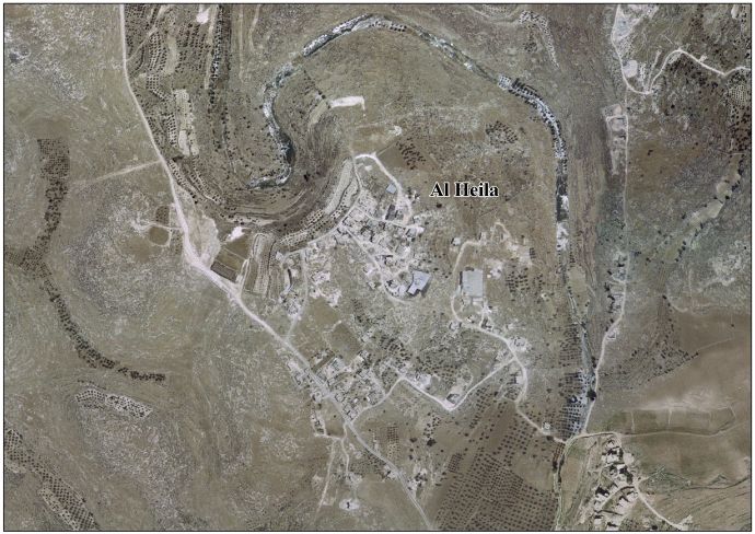
al-Heila (Arabic: الحيلة) is a Palestinian village located eight kilometers south of Hebron. The village is in the Hebron Governorate Southern West Bank. According to the Palestinian Central Bureau of Statistics, the village had a population of 1,277 in 2007.[1] The primary health care facilities for the village are designated by the Ministry of Health as level 1.[2]
Footnotes
External links
- Survey of Western Palestine, Map 21: IAA, Wikimedia commons
- Al Heila Village (Fact Sheet)
- Al Heila Village Profile
- Al Heila Village Area Photo
- The priorities and needs for development in Al Heila village based on the community and local authorities’ assessment
| ||||||||||||||||||||

This article is issued from Wikipedia - version of the Saturday, December 12, 2015. The text is available under the Creative Commons Attribution/Share Alike but additional terms may apply for the media files.