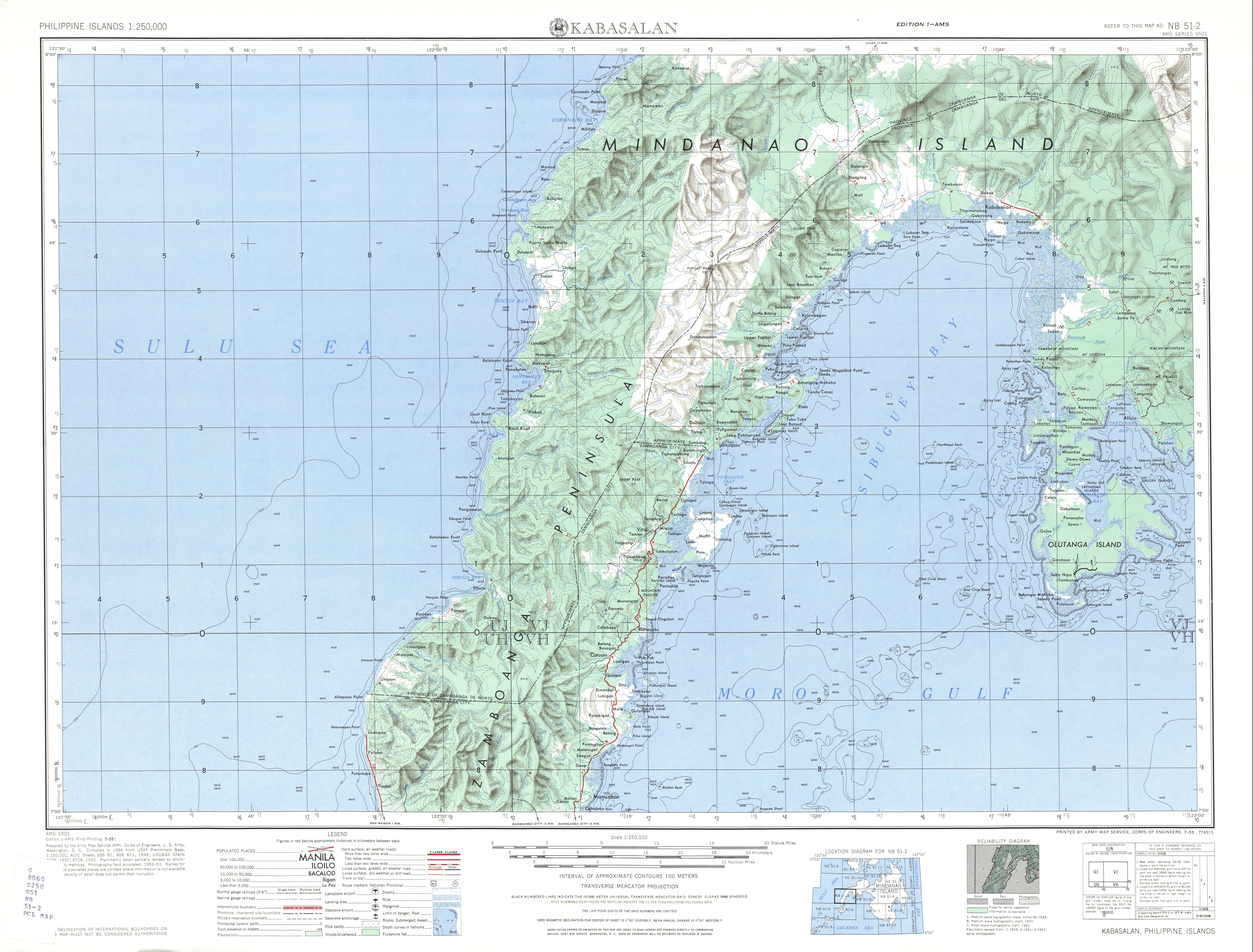
Batorampon Point
Batorampon Point is the westernmost point of the island of Mindanao (7°6′32.5″N 121°53′51.8″E / 7.109028°N 121.897722°E / 7.109028; 121.897722) in the Philippines and has been named so since the mid-19th century.[1][2][3] The rocky cliff, located within the limits of the City of Zamboanga, was previously known as Batalampon Point, becoming Batorampon Point in the 1940s.[4][5] The point is located just north of Labuan, about 35 kilometres (22 mi) from downtown Zamboanga City.
Batorampon Point is also the alleged name[6] of the highest elevation in Zamboanga City located in 7°4′25″N 122°1′23.3″E / 7.07361°N 122.023139°E / 7.07361; 122.023139. The peak was not named in the 1940s topography map of the region by the U.S. Army's topographic engineering agency, the Army Map Service.[4] When it was named Batorampon Point is not known.
References
|
|---|
| Ciudad de Zamboanga | | | Geography | | |
|---|
| | Government | |
|---|
| | History | |
|---|
| | Buildings | |
|---|
| | Education | |
|---|
| | Media | |
|---|
| | Culture | |
|---|
| | Transportation | |
|---|
| |
|
