Kyaing
| Kyaing | |
|---|---|
| Village | |
 Kyaing Location in Burma. | |
| Coordinates: 21°45′49″N 94°10′38″E / 21.76361°N 94.17722°ECoordinates: 21°45′49″N 94°10′38″E / 21.76361°N 94.17722°E | |
| Country |
|
| Region | Magway Region |
| District | Gangaw |
| Township | Tilin |
| Time zone | MST (UTC+6.30) |
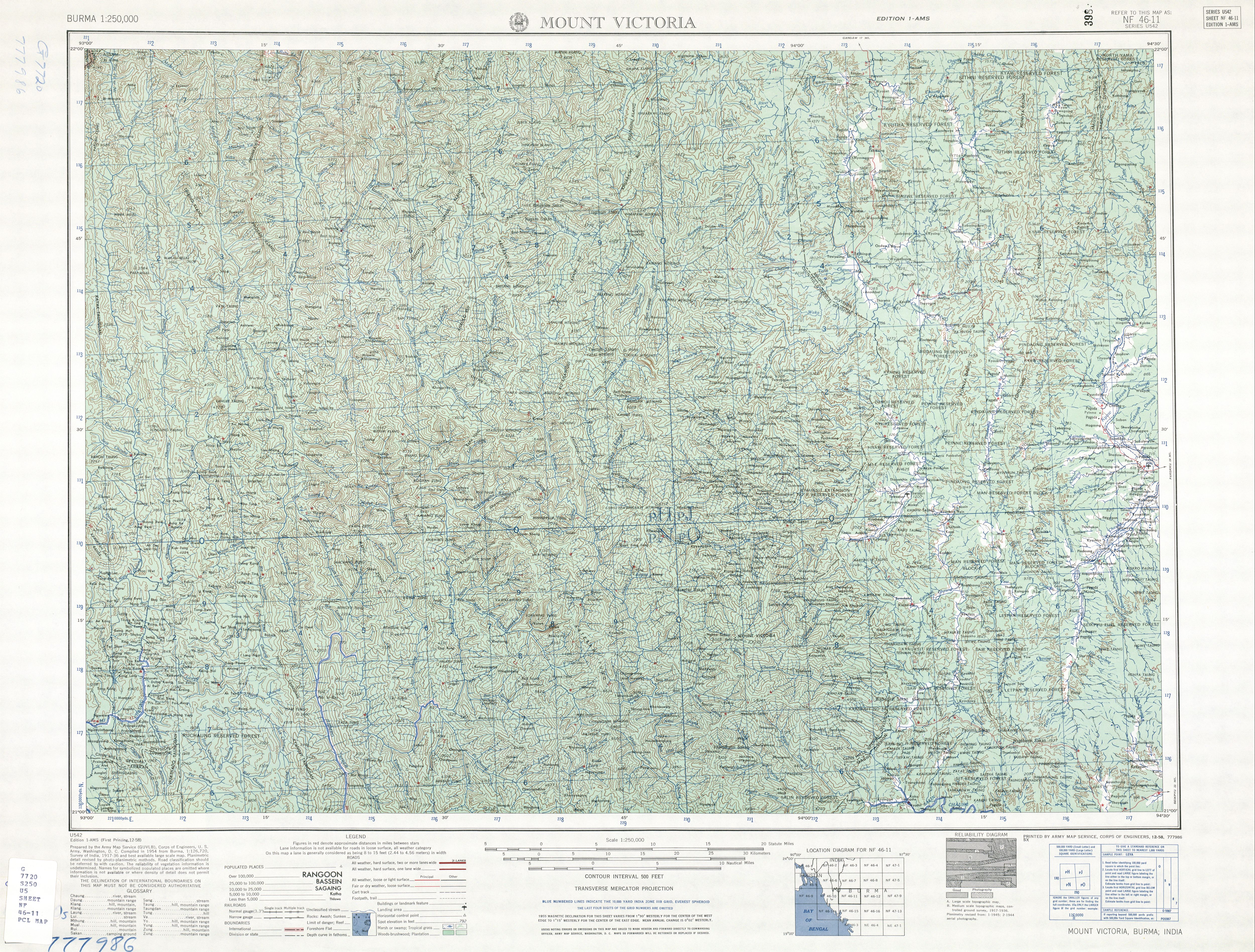
Kyaing[1] is a village in Tilin Township, Gangaw District, in the north-western part of the Magway Region in Myanmar. Kyaing lies on the right (western) bank of the Ywa Chaung tributary of the Maw River.[2]
Notes
- ↑ "Kyaing" GeoNames
- ↑ Burma 1:250,000 topographic map, Series U542, NF 46-11 Mount Victoria U.S. Army Map Service, October 1961
External links
| |||||||||||||||||||||||||||||||||


This article is issued from Wikipedia - version of the Saturday, February 13, 2016. The text is available under the Creative Commons Attribution/Share Alike but additional terms may apply for the media files.