Kyaw River
| Kyaw River (ကျောမြစ်) | |
| Kyaw Chaung | |
| River | |
| Country | Burma |
|---|---|
| State | Magway Division |
| Mouth | Yaw River; Pakokku District |
| - elevation | 141 m (463 ft) |
| - coordinates | MM 21°27′17″N 94°30′47″E / 21.45472°N 94.51306°ECoordinates: MM 21°27′17″N 94°30′47″E / 21.45472°N 94.51306°E |
The Kyaw River (Burmese: ကျောမြစ်, Kyaw Chaung) is a river of upper Burma (Myanmar) in Magway Division.[1] It is a major tributary of the Yaw River[2] which it enters just below the town of Pauk.[3]
Notes and references
- ↑ Kyaw Chaung (Approved - N) at GEOnet Names Server, Kyaw River (Variant - V) at GEOnet Names Server, United States National Geospatial-Intelligence Agency
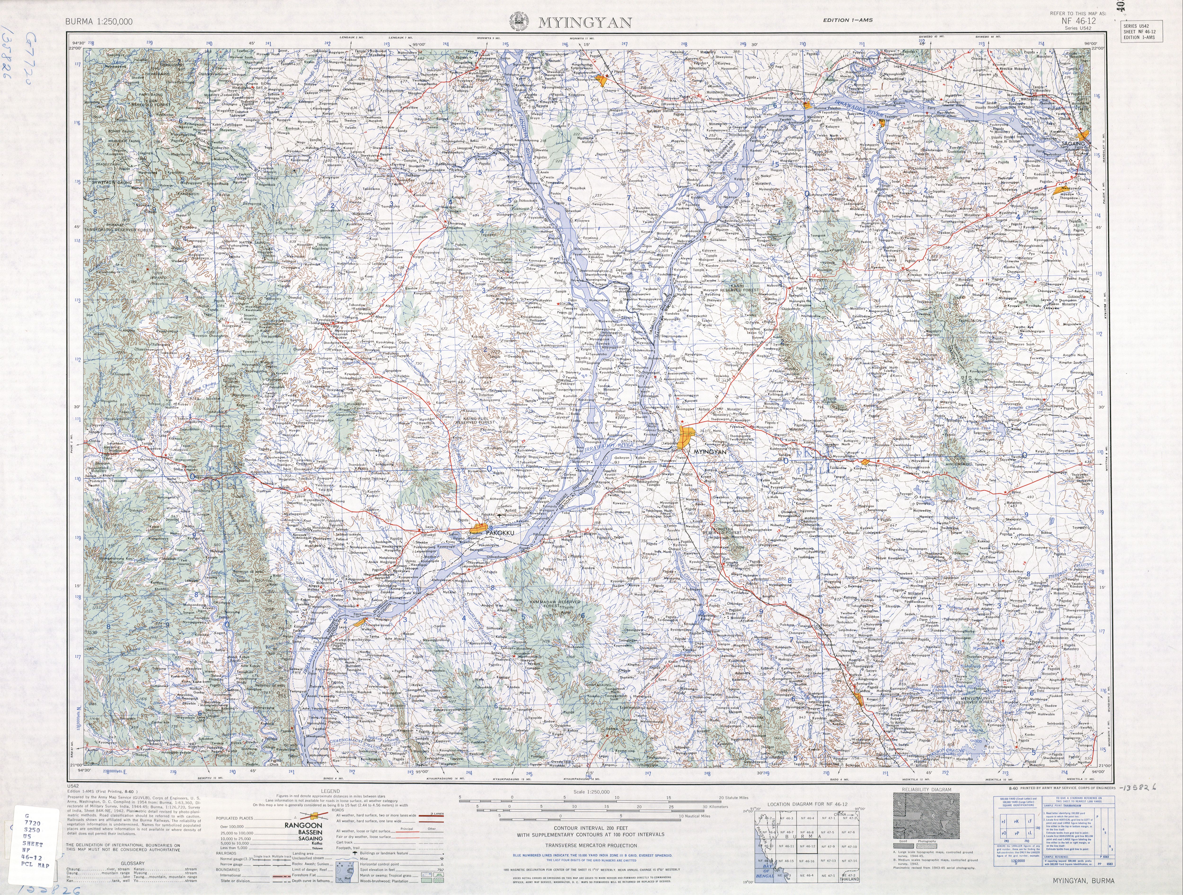
- ↑ United States Army Map Service (August 1960). Myingyan, Burma, NF-46-12, topographic map (Map). 1:250,000. Series U542.
- ↑ Hunter, William Wilson (editor) (1907) Imperial gazetteer of India (2nd edition) Clarendon Press, Oxford, England, page 77, OCLC 4542340
See also
This article is issued from Wikipedia - version of the Friday, December 25, 2015. The text is available under the Creative Commons Attribution/Share Alike but additional terms may apply for the media files.