Laram Q'awa (Parinacota)
| Laram Q'awa | |
|---|---|
 Laram Q'awa Location in Chile | |
| Highest point | |
| Elevation | 5,439 m (17,844 ft) [1] |
| Coordinates | 18°7′S 69°22′W / 18.117°S 69.367°WCoordinates: 18°7′S 69°22′W / 18.117°S 69.367°W [2] |
| Geography | |
| Location | Chile |
| Parent range | Andes |

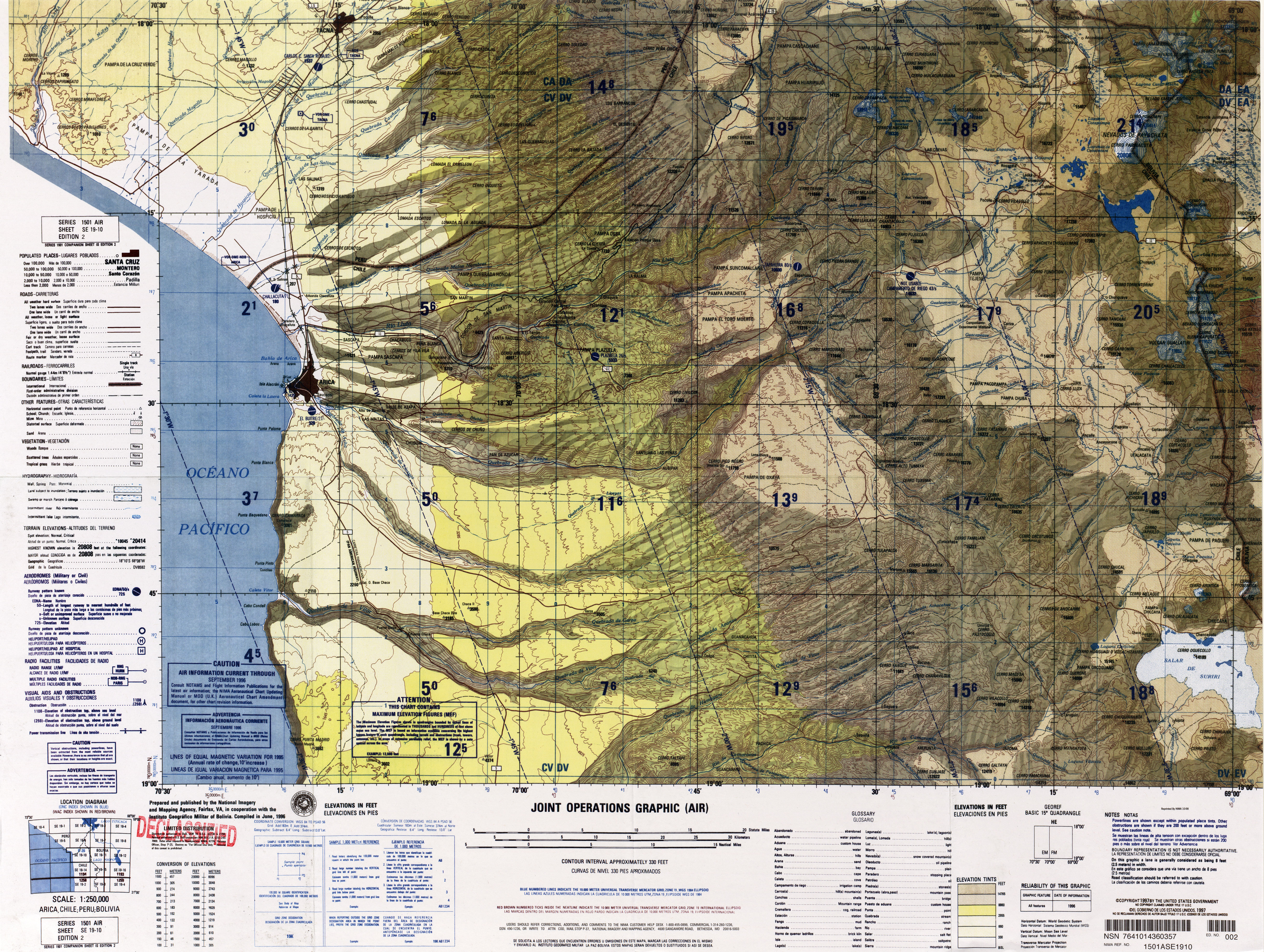
Map showing Laram Q'awa (Larancagua) in Chile between the Taapaca volcanic complex and Payachata mountains
Laram Q'awa (Aymara larama blue,[3] q'awa little river,[4] "little blue river" hispanicized spellings Larancagua, Larancahua) is a mountain in Chile situated in the Parinacota Province of the Arica and Parinacota Region, about 5,439 metres (17,845 ft)[5] high. It lies between the Taapaca volcanic complex and the Payachata mountains.
See also
- Quta Qutani lakes
References
- ↑ mapcarta.com
- ↑ mapcarta.com
- ↑ www.katari.org Larama (adj.) Azul
- ↑ aymara.ucb.edu.bo Spanish-Aymara dictionary: RIACHUELO. s. Río pequeño. Zanja. Grieta. Hendidura, abertura en la tierra - Q'awa, jawiralla]
- ↑ upload.wikimedia.org/
This article is issued from Wikipedia - version of the Sunday, December 06, 2015. The text is available under the Creative Commons Attribution/Share Alike but additional terms may apply for the media files.