Washington State Route 510
| ||||
|---|---|---|---|---|
|
A map of the area located between Tacoma and Chehalis showing SR 510, highlighted in red, paralleling the Pierce–Thurston county line, also known as the Nisqually River. | ||||
| Route information | ||||
| Auxiliary route of I-5 | ||||
| Defined by RCW 47.17.685 | ||||
| Maintained by WSDOT | ||||
| Length: | 13.07 mi[1] (21.03 km) | |||
| Existed: | 1964[2] – present | |||
| Major junctions | ||||
| West end: |
| |||
| East end: |
| |||
| Highway system | ||||
| ||||


State Route 510 (SR 510) is a 13.07-mile (21.03 km) long state highway in Thurston County, a subdivision of the US state of Washington. The highway extends southeast from an interchange with Interstate 5 (I-5) in Lacey to SR 507 in Yelm. SR 510 roughly parallels the Nisqually River, the border between Thurston and Pierce counties, between the Fort Lewis and Nisqually Indian Community area to Yelm. Five educational institutions, including one community college and two high schools, are served by the route. The roadway was built by 1916 as a connector from Saint Clair Lake to the Northern Pacific Railway station in Yelm and was designated as Secondary State Highway 5I (SSH 5I) in 1937. The original route of SSH 5I ran from Tumwater east to Yelm, following the present-day Yelm Highway. In 1959, the highway was realigned to serve a new freeway, later I-5, in Lacey; SSH 5I was replaced in the 1964 highway renumbering by SR 510. The Yelm-Tenino Trail was built over the Northern Pacific line in 1993 and a bypass is being constructed around Yelm.
Route description
SR 510 begins as Marvin Road at exit 111, a diamond interchange on Interstate 5 (I-5) in southern Lacey.[3] The highway travels south by the Hawks Prairie Village Mall, home of the Hawks Prairie Center, a division of the South Puget Sound Community College.[4][5] South of the mall is the Martin Way intersection, located west of River Ridge High School and one of the busiest intersections on the roadway at a daily average of 24,000 motorists in 2008,[6][7] and the Pacific Avenue roundabout,[1] where SR 510 turns east, renamed Pacific Avenue, northeast of Long Lake. After leaving Lacey city limits, the roadway begins to parallel the Quadlok line owned by Tacoma Rail south towards the Old Pacific Highway.[8][9] At the Old Pacific Highway, the road becomes the St. Clair Cutoff Road, named for nearby Saint Clair Lake, and crosses the railroad tracks twice. After turning northeast, parallel to Saint Clair Lake's shoreline, the highway dips southeast, now parallel to the Nisqually River, into Fort Lewis and the Nisqually Indian Community. Outside of the community, SR 510 is renamed the Yelm Highway and passes Southworth Elementary.[10] After intersecting Mudd Run Road, future western terminus of the Yelm Loop,[11] the roadway enters Yelm city limits. After turning southeast, SR 510 becomes Yelm Avenue and serves Yelm High School.[12] Shortly thereafter, the roadway serves Yelm Middle School,[13] crosses the Yelm-Tenino Trail, a 7.4-mile (11.9 km) long rail trail in operation since 1993,[14] and ends at First Street, signed as SR 507, which continues southeast as Yelm Avenue.[1][15]
| |
|---|---|
| Location: | Yelm |
| Existed: | 2010–present |
Alternate route
Stage 1 of a 120-foot (36.58 m) wide, 2 lane bypass of Yelm, named the Yelm Loop, is completed and open to traffic.[16][17] The bypass begins at a roundabout with SR 510 near the current Mudd Run Road intersection and travels east through a residential and industrial area, currently ending at Cullins Road.[11] The unfinished portion of the Yelm Loop is currently officially signed as State Route 510 Alternate.
Stage 2 will finish the Yelm Loop to SR507 and this segment is currently unfunded.[16][18] The highway will turn south, pass a city park, and end at a traffic signal with SR 507 east of Yelm.[11] Plans for the Yelm Loop were created in 2004 and the Washington State Legislature funded Stage 1 in 2009, with its construction completed in October 2010. The city is actively anticipating completion of Stage 2, which will redirect traffic that has increased since the 1990s.[16][19] When completed, it is expected that the current traversal of State Route 510 will be moved to the Alternate, becoming the new State Route 510.
History
SR 510 began as an unsigned county-maintained road that ran from the Saint Clair Lake area to the Northern Pacific Railway station at Yelm, constructed by 1916.[20] The road later extended west to Tumwater and designated Secondary State Highway 5I (SSH 5I) in 1937.[21] The old route followed present-day Yelm Highway on the southern side of Saint Clair Lake and Patterson Lake to Tumwater.[22][23] In 1959, SSH 5I was moved to a northern route to the U.S. Route 99 (US 99) and US 410 freeway in Lacey.[24] SR 510 officially replaced SSH 5I after the 1964 highway renumbering; US 99 and US 410 also became Interstate 5 (I-5) in 1968.[2][25][26]
SR 510 between I-5 and Pacific Avenue was reconstructed and widened in late 2003, with the addition of a roundabout at the Pacific Avenue intersection.[27]
Major intersections
The entire highway is in Thurston County.
| Location | mi[1] | km | Destinations | Notes | |
|---|---|---|---|---|---|
| Lacey | 0.00 | 0.00 | Western terminus | ||
| Yelm | 13.07 | 21.03 | Eastern terminus | ||
| 1.000 mi = 1.609 km; 1.000 km = 0.621 mi | |||||
References
- 1 2 3 4 Washington State Department of Transportation (2008). "State Highway Log, 2008" (PDF). Retrieved November 11, 2009.
- 1 2 Washington State Legislature. "RCW 47.17.685: State route No. 510". Retrieved November 11, 2009.
- ↑ Washington State Department of Transportation (September 17, 2004). "SR 5 – Exit 111; Junction SR 510 / Marvin Road" (PDF). Retrieved November 11, 2009.
- ↑ South Puget Sound Community College (2006). "South Puget Sound Community College – Hawks Prairie Center". Retrieved November 11, 2009.
- ↑ South Puget Sound Community College. "Directions to Hawks Prairie Center: A Division of South Puget Sound Community College". Retrieved November 11, 2009.
- ↑ North Thurston Public Schools (2009). "River Ridge High School – RRHS Driving Directions". Archived from the original on June 8, 2008. Retrieved November 11, 2009.
- ↑ Washington State Department of Transportation (2008). "2008 Annual Traffic Report" (PDF). Retrieved November 11, 2009.
- ↑ Tacoma Rail (2009). "TPU Rail Capital Division". Retrieved November 11, 2009.
- ↑ Washington State Rail System (PDF) (Map). Washington State Department of Transportation. 2008. Retrieved November 11, 2009.
- ↑ Yelm Community Schools (2009). "Southworth Elementary | About Our School". Retrieved November 11, 2009.
- 1 2 3 Washington State Department of Transportation (2009). "SR 510 Yelm Loop Aerial" (PDF). Retrieved November 11, 2009.
- ↑ Yelm Community Schools (2009). "Yelm High School | About Our School". Retrieved November 11, 2009.
- ↑ Yelm Community Schools (2009). "Yelm Middle School | About Our School". Retrieved November 11, 2009.
- ↑ Thurston County Parks and Recreation (2009). "Yelm to Tenino Trail". Retrieved November 11, 2009.
- ↑ Google (November 11, 2009). "State Route 510" (Map). Google Maps. Google. Retrieved November 11, 2009.
- 1 2 3 Washington State Department of Transportation (2013). "SR 510 – Yelm Loop". Retrieved July 17, 2013.
- ↑ Washington State Department of Transportation (2009). "SR 510 Yelm Loop Crossection" (PDF). Retrieved November 11, 2009.
- ↑ SR 510 – Yelm Loop Location (Map). Washington State Department of Transportation. 2009. Retrieved November 11, 2009.
- ↑ Leventis, Angie (August 23, 2005). "Yelm keeps old, grows into news". The News Tribune (Tacoma). Retrieved November 11, 2009.
The city is eagerly awaiting a highway bypass, the new 510/507 Loop intended to clear up traffic congestion that has plagued Yelm for more than a decade.
- ↑ Chehalis, 1916 (Map). 1:125,000. Washington 1:125,000 topographic quadrangles. Cartography by United States Geological Survey. Washington State University. 1916. Retrieved November 11, 2009.
- ↑ Washington State Legislature (March 18, 1937). "Chapter 207: Classification of Public Highways". Session Laws of the State of Washington. Session Laws of the State of Washington (1937 ed.). Olympia: Washington State Legislature. p. 1003. Retrieved November 11, 2009.
(h) Secondary State Highway No. 5I; beginning at Yelm on Secondary State Highway No. 5H, thence in a northwesterly direction by the most feasible route to Tumwater on Primary State Highway No. 1.
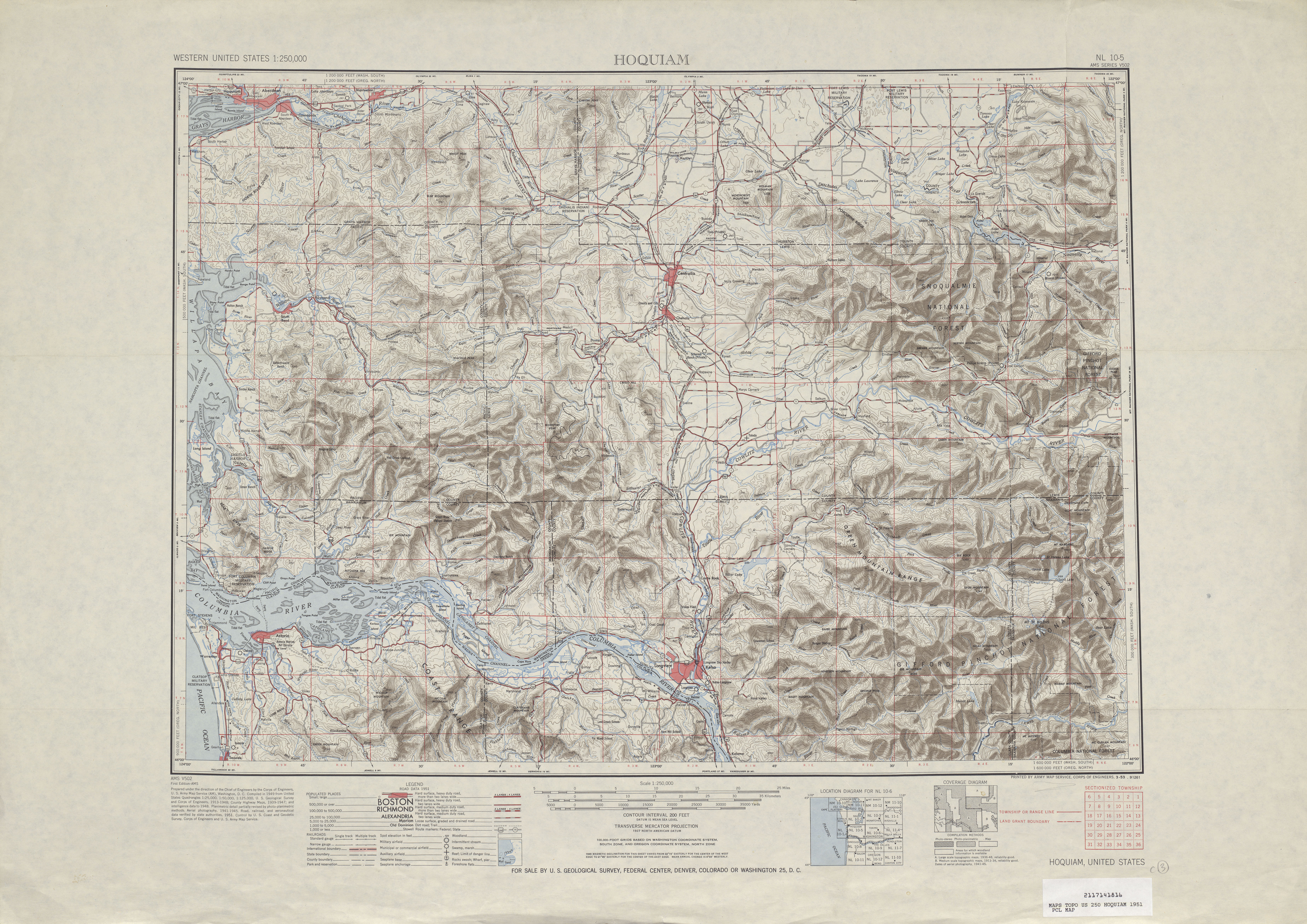
- ↑ Hoquaim, 1951 (Map). 1:250,000. Cartography by United States Geological Survey. University of Texas at Austin. 1951. Retrieved November 11, 2009.
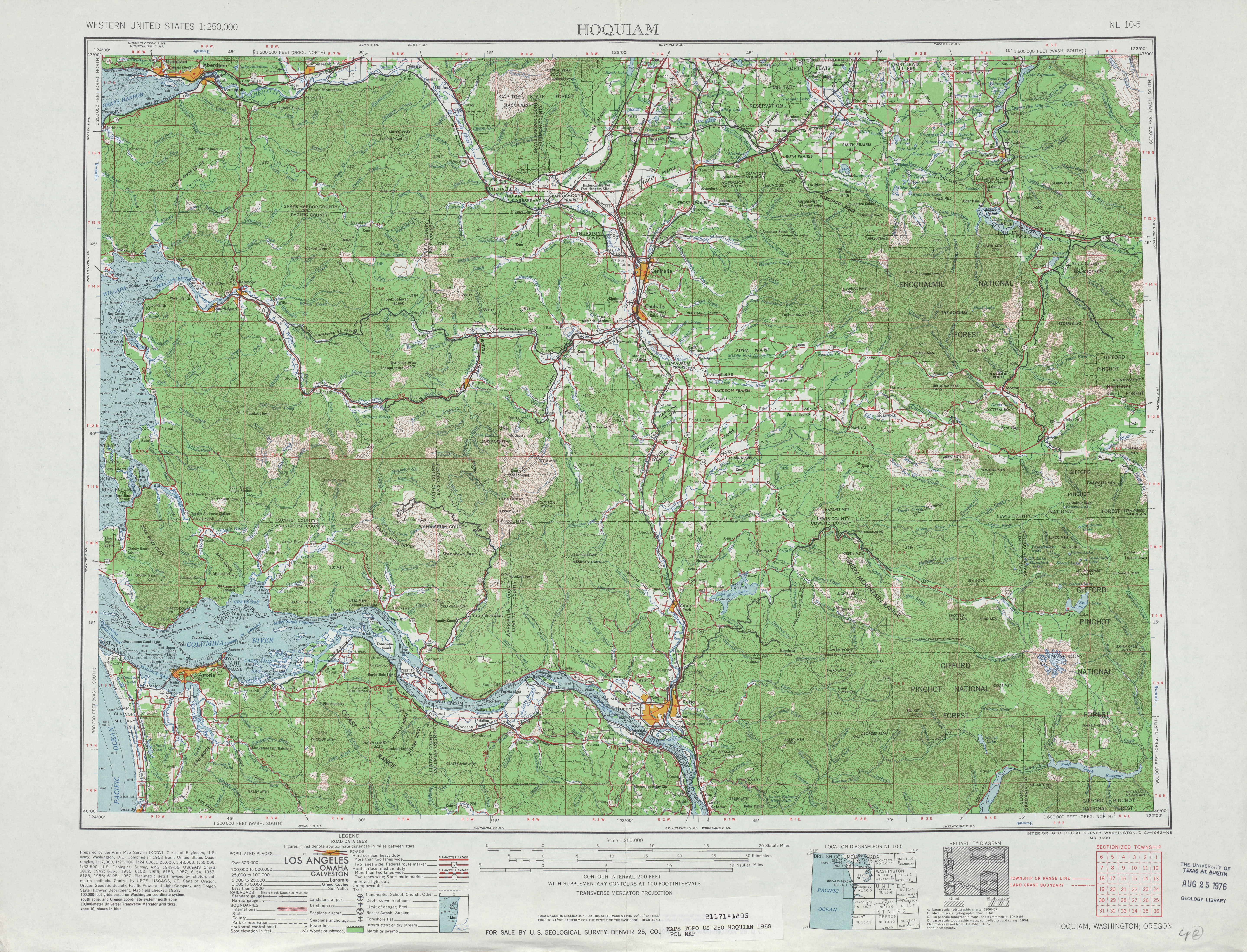
- ↑ Hoquaim, 1958 (Map). 1:250,000. Cartography by United States Geological Survey. University of Texas at Austin. 1958. Retrieved November 11, 2009.
- ↑ Washington State Legislature (1959). "Chapter 319". Session Laws of the State of Washington. Session Laws of the State of Washington (1959 ed.). Olympia: Washington State Legislature.
- ↑ C. G. Prahl; Washington State Highway Commission, Department of Highways (December 1, 1965). "Identification of State Highways" (PDF). Washington State Department of Transportation. Retrieved November 11, 2009.
- ↑ Seattle, 1965 (Map). 1:250,000. Cartography by United States Geological Survey. University of Texas at Austin. 1965. Retrieved November 11, 2009.
- ↑ Hill, Christian (July 29, 2003). "One jam done, another begins". The Olympian (Olympia, Washington). p. A1.
External links
| Wikimedia Commons has media related to Washington State Route 510. |
| ||||||||||||