Budrus
| Budrus | |
|---|---|
| Other transcription(s) | |
| • Arabic | بٌدرُس |
 | |
 Budrus Location of Budrus within the Palestinian Territories | |
| Coordinates: 31°57′59.66″N 34°59′37.08″E / 31.9665722°N 34.9936333°ECoordinates: 31°57′59.66″N 34°59′37.08″E / 31.9665722°N 34.9936333°E | |
| Palestine grid | 149/152 |
| Governorate | Ramallah & al-Bireh |
| Government | |
| • Type | Municipality |
| Population (2006) | |
| • Jurisdiction | 1,399 |
| Name meaning | from Budrus, personal name[1] |
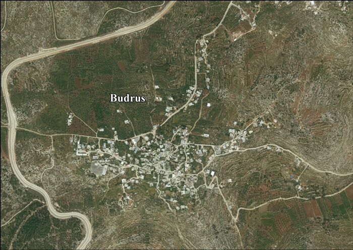
Budrus (Arabic: بٌدرُس) is a Palestinian town in the Ramallah and al-Bireh Governorate, located 31 kilometers Northwest of Ramallah in the northern West Bank. According to the Palestinian Central Bureau of Statistics (PCBS), the town had a population of 1,399 inhabitants in 2007.[2]
History
"Budrus" is Arabic for "Peter" and in ancient times the village was known as Patris. The site of the modern town is just east of the 1949 armistice line, while the ancient town was probably 2 km away at Khirbet Budrus, on the west side of the line.[3][4] It was mentioned in the Jewish Tosefta (Demai 1)[5] as being included in the boundary of the southern mountains of Judea.[6]
In 1596, Budrus appeared in Ottoman tax registers as being in the Nahiya of Ramla of the Liwa of Gaza. It had a population of 46 Muslim households and paid taxes on wheat, barley, olives or summercrops, goats or beehives and a press for olives or grapes.[7]
Budrus was described in the 1870s as "A small village, with olive-groves and cisterns. It has near it two sacred places, and a graveyard near one (Imam 'Aly) on the west."[8]
At the time of the 1931 census, Budrus had 98 occupied houses and a population of 430 Muslims.[9] The population had increased to 510 by 1945.[10]
Budrus is flanked on the west and north by the Israeli West Bank barrier and has regularly been the site of protests against it[11] since 2003.[12]

Incidents
A boy from the village, 16-year-old Samir Awad, was shot to death in February 2013 near the Separation barrier, where he reportedly had gone with friends to throw stones at soldiers. According to an investigation by B'tselem, he was shot while fleeing, once in the leg, and then further, while attempting to run away, once in the back and the head. A military investigation made a preliminary finding that the soldiers had fired in contravention of open-fire regulations.[13][14] The house of his family was later subject to assault with concussion grenades, injuring several members, while another son, Abed, was arrested and taken to an unknown destination.[15]
See also
- Budrus - a film about the non-violent protests of Budrus residents against the building of the Israeli West Bank barrier in the village.
Footnotes
- ↑ Palmer, 1881, p. 227
- ↑ 2007 PCBS Census. Palestinian Central Bureau of Statistics. p.114.
- ↑ Dauphin, 1998, p. 831
- ↑ Yoram Tsafrir, Leah Di Segni and Judith Green (1994). Tabula Imperii Romani: Judaea, Palaestina. Jerusalem: Israel Academy of Sciences and Humanities. p. 200.
- ↑ תוספתא דמאי, פרק א
- ↑ Francis Roubiliac Conder; Claude Reignier Conder (1880). A handbook to the Bible: being a guide to the study of the Holy Scriptures: derived from ancient monuments and modern exploration. A. D. F. Randolph & company. p. 307. Retrieved 7 June 2011.
- ↑ Hütteroth and Abdulfattah, 1977, p. 153
- ↑ Conder and Kitchener, 1882, SWP II, p. 296
- ↑ Mills, 1932, p. 19
- ↑ Government of Palestine, Department of Statistics. Village Statistics, April, 1945. Quoted in Hadawi, 1970, p. 66
- ↑ Polly Pallister-Wilkins. "Radical Ground: Israeli and Palestinian Activists and Joint Protest Against the Wall". Social Movement Studies 8 (4): 393–407. doi:10.1080/14742830903234262.
- ↑ Gideon Levy, Alex Levac, 'In Budrus, no one will give us the rights – we have to struggle for them', at Haaretz, 27 July, 2013
- ↑ 'B’Tselem inquiry: No justification for shooting and killing Samir ‘Awad, 16. Budrus, 15 Jan 2013,' B’Tselem 21 February 2013.
- ↑ Ha'aretz16/1/2013
- ↑ Gideon Levy, Alex Levac, 'A battered house, a shattered Palestinian family,' at Haaretz, 31 May, 2013.
Bibliography
| Wikimedia Commons has media related to Budrus. |
- Barron, J. B., ed. (1923). Palestine: Report and General Abstracts of the Census of 1922 (PDF). Government of Palestine.
- Conder, Claude Reignier; Kitchener, H. H. (1882). The Survey of Western Palestine: Memoirs of the Topography, Orography, Hydrography, and Archaeology 2. London: Committee of the Palestine Exploration Fund.
- Dauphin, Claudine (1998). La Palestine byzantine, Peuplement et Populations. BAR International Series 726 (in French). III : Catalogue. Oxford: Archeopress.
- Hadawi, Sami (1970). Village Statistics of 1945: A Classification of Land and Area ownership in Palestine. Palestine Liberation Organization Research Center.
- Hütteroth, Wolf-Dieter; Abdulfattah, Kamal (1977). Historical Geography of Palestine, Transjordan and Southern Syria in the Late 16th Century. Erlanger Geographische Arbeiten, Sonderband 5. Erlangen, Germany: Vorstand der Fränkischen Geographischen Gesellschaft. ISBN 3-920405-41-2.
- Mills, E., ed. (1932). Census of Palestine 1931. Population of Villages, Towns and Administrative Areas (PDF). Jerusalem: Government of Palestine.
- Palmer, E. H. (1881). The Survey of Western Palestine: Arabic and English Name Lists Collected During the Survey by Lieutenants Conder and Kitchener, R. E. Transliterated and Explained by E.H. Palmer. Committee of the Palestine Exploration Fund.
External links
- Welcome To Budrus
- Survey of Western Palestine, Map 14: IAA, Wikimedia commons
- Budrus Village (Fact Sheet), Applied Research Institute - Jerusalem (ARIJ)
- Budrus Village Profile, Applied Research Institute - Jerusalem (ARIJ)
- Budrus areal photo, Applied Research Institute - Jerusalem (ARIJ)
- Israel illegally Re delineate the boundaries of the Palestinian Villages! The case of Qibya and Budrus villages 17, October, 2005
| ||||||||||||||||||||
