Deir Nidham
| Deir Nidham | |
|---|---|
| Other transcription(s) | |
| • Arabic | دير نظام |
| • Also spelled | Deir Nizam (unofficial) |
|
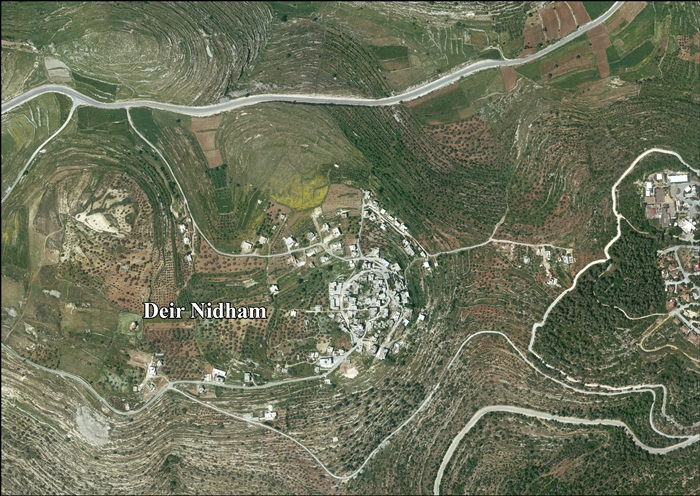
View of Deir Nidham, 2012 | |
 Deir Nidham Location of Deir Nidham within the Palestinian Territories | |
| Coordinates: 32°0′10″N 35°6′49″E / 32.00278°N 35.11361°ECoordinates: 32°0′10″N 35°6′49″E / 32.00278°N 35.11361°E | |
| Governorate | Ramallah & al-Bireh |
| Government | |
| • Type | Village council |
| • Head of Municipality | Abdul Nasser Faraj Hamed al-Tamimi |
| Area | |
| • Jurisdiction | 4,000 dunams (4.0 km2 or 1.5 sq mi) |
| Population (2007) | |
| • Jurisdiction | 879 |
| Website | www.deir-nidham.org |

Deir Nidham (Arabic: دير نظام) is a Palestinian village in the Ramallah and al-Bireh Governorate in the central West Bank. It is located approximately 23 kilometers (14 mi) northwest of the city of Ramallah and its elevation is 590 meters (1,940 ft). According to the Palestinian Central Bureau of Statistics (PCBS) 2007 census, the town had a population of 879.[1]
A secondary school exists in Deir Nidham and high school students are educated at a nearby village. Most university students attend Birzeit University or the al-Quds Open University. The electricity network in the village is affiliated with that of Jerusalem, while its water network is managed by the Palestinian National Authority.[2] A village council of seven members was established in 2005 to govern the village.[3]
References
- ↑ 2007 PCBS Census. Palestinian Central Bureau of Statistics. p.113.
- ↑ About Deir Nidham Deir Nidham Village Council.
- ↑ About the Council Deir Nidham Village Council.
Bibliography
| Wikimedia Commons has media related to Deir Nidham. |
- Barron, J. B., ed. (1923). Palestine: Report and General Abstracts of the Census of 1922 (PDF). Government of Palestine.
- Conder, Claude Reignier; Kitchener, H. H. (1882). The Survey of Western Palestine: Memoirs of the Topography, Orography, Hydrography, and Archaeology 2. London: Committee of the Palestine Exploration Fund. (p. 290)
- Finkelstein, Israel; Lederman, Zvi, eds. (1997). Highlands of many cultures. Tel Aviv: Institute of Archaeology of Tel Aviv University Publications Section. ISBN 965-440-007-3. (I p. 366)
- Guérin, Victor (1875). Description Géographique Historique et Archéologique de la Palestine (in French). 2: Samarie, pt. 2. Paris: L'Imprimerie Nationale. (p. 105)
- Hadawi, Sami (1970). Village Statistics of 1945: A Classification of Land and Area ownership in Palestine. Palestine Liberation Organization Research Center.
- Hütteroth, Wolf-Dieter; Abdulfattah, Kamal (1977). Historical Geography of Palestine, Transjordan and Southern Syria in the Late 16th Century. Erlanger Geographische Arbeiten, Sonderband 5. Erlangen, Germany: Vorstand der Fränkischen Geographischen Gesellschaft. ISBN 3-920405-41-2. (p.118)
- Mills, E., ed. (1932). Census of Palestine 1931. Population of Villages, Towns and Administrative Areas (PDF). Jerusalem: Government of Palestine.
- Palmer, E. H. (1881). The Survey of Western Palestine: Arabic and English Name Lists Collected During the Survey by Lieutenants Conder and Kitchener, R. E. Transliterated and Explained by E.H. Palmer. Committee of the Palestine Exploration Fund. (p. 228)
External links
- Official Website
- Welcome To Dayr Nidham
- SWP map XIV, IAA
- SWP map 14, Wikimedia commons
- Deir Nidham Village (Fact Sheet), Applied Research Institute - Jerusalem (ARIJ)
- Deir Nidham Village Profile, Applied Research Institute - Jerusalem (ARIJ)
- Deir Nidham, areal photo, Applied Research Institute - Jerusalem (ARIJ)
- Locality Development Priorities and Needs in Deir Nidham Village, Applied Research Institute - Jerusalem (ARIJ)
| ||||||||||||||||||||
