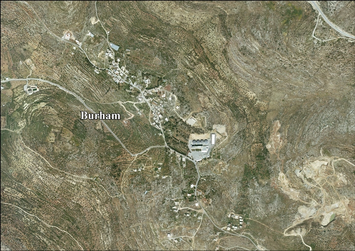
Burham, Ramallah
For the British town, see Burham.
| Burham | |
|---|---|
| Other transcription(s) | |
| • Arabic | بُرهام |
| • Also spelled | Boorhem (official) |
|
Remains of old homes in Burham | |
 Burham Location of Burham within the Palestinian Territories | |
| Coordinates: 31°59′20.98″N 35°10′28.55″E / 31.9891611°N 35.1745972°ECoordinates: 31°59′20.98″N 35°10′28.55″E / 31.9891611°N 35.1745972°E | |
| Palestine grid | 166/155 |
| Governorate | Ramallah & al-Bireh |
| Government | |
| • Type | Local Development Committee |
| Area | |
| • Jurisdiction | 1,589 dunams (1.6 km2 or 0.6 sq mi) |
| Population (2007) | |
| • Jurisdiction | 616 |

Burham (Arabic: بُرهام) is a Palestinian village in the Ramallah and al-Bireh Governorate located twelve kilometers north of Ramallah. The largest nearby town is Bir Zeit located to the southeast. The average elevation of Burham is 680 meters above sea level.[1] The village was established during the Byzantine Empire rule over Palestine.[2]
In 1922, there were 74 inhabitants in the town, rising to 122 in 1931.[1] According to the Palestinian Central Bureau of Statistics, Burham had a population of 565 in mid-year 2006.[3] In the 2007 census by the PCBS, there were 616 people living in the town.[4]
References
- 1 2 Welcome to Burham
- ↑ Taha, Hamdan. The Sanctuary of Sheikh al-Qatrawani Studium Biblicum Franciscanum - Jerusalem.
- ↑ Projected Mid -Year Population for Ramallah & Al Bireh Governorate by Locality 2004- 2006 Palestinian Central Bureau of Statistics.
- ↑ 2007 PCBS Census. Palestinian Central Bureau of Statistics. p.112.
Bibliography
- Barron, J. B., ed. (1923). Palestine: Report and General Abstracts of the Census of 1922 (PDF). Government of Palestine.
- Conder, Claude Reignier; Kitchener, H. H. (1882). The Survey of Western Palestine: Memoirs of the Topography, Orography, Hydrography, and Archaeology 2. London: Committee of the Palestine Exploration Fund. (pp. 290, 330)
- Finkelstein, Israel; Lederman, Zvi, eds. (1997). Highlands of many cultures. Tel Aviv: Institute of Archaeology of Tel Aviv University Publications Section. ISBN 965-440-007-3. (I p.408)
- Guérin, Victor (1869). Description Géographique Historique et Archéologique de la Palestine (in French). 1: Judee, pt. 3. Paris: L'Imprimerie Nationale. (p. 39)
- Hadawi, Sami (1970). Village Statistics of 1945: A Classification of Land and Area ownership in Palestine. Palestine Liberation Organization Research Center.
- Mills, E., ed. (1932). Census of Palestine 1931. Population of Villages, Towns and Administrative Areas (PDF). Jerusalem: Government of Palestine.
- Palmer, E. H. (1881). The Survey of Western Palestine: Arabic and English Name Lists Collected During the Survey by Lieutenants Conder and Kitchener, R. E. Transliterated and Explained by E.H. Palmer. Committee of the Palestine Exploration Fund. (p. 233)
External links
- Welcome To Burham
- Survey of Western Palestine, Map 14: IAA, Wikimedia commons
- Burham Village (Fact Sheet), Applied Research Institute - Jerusalem (ARIJ)
- Burham Village Profile, Applied Research Institute - Jerusalem (ARIJ)
- Burham, areal photo, Applied Research Institute - Jerusalem (ARIJ)
- Locality Development Priorities and Needs in Burham Village, Applied Research Institute - Jerusalem (ARIJ)
- Untold stories: Said Arouri
| ||||||||||||||||||||

This article is issued from Wikipedia - version of the Thursday, October 22, 2015. The text is available under the Creative Commons Attribution/Share Alike but additional terms may apply for the media files.